 Dufferin
Street might not conjure much positive nostalgia for riders of the 29
bus as it slowly plods its way to and fro on the pot hole-strewn road,
but it is, of course, a stretch filled with rich history, from the
presence of the CNE
at its southerly tip to the Queen Street Subway to the long gone
racetrack south of Bloor. Named after Govener General (1872-1878)
Frederick Hamilton-Temple-Blackwood, 1st Marquess of Dufferin, the
street was one of the original concessions running north from Lot Street (now Queen).
Although mostly rural north of Bloor at the turn of the century, the
area around Queen and Dufferin was already a hub of activity in the late
1890s.
Dufferin
Street might not conjure much positive nostalgia for riders of the 29
bus as it slowly plods its way to and fro on the pot hole-strewn road,
but it is, of course, a stretch filled with rich history, from the
presence of the CNE
at its southerly tip to the Queen Street Subway to the long gone
racetrack south of Bloor. Named after Govener General (1872-1878)
Frederick Hamilton-Temple-Blackwood, 1st Marquess of Dufferin, the
street was one of the original concessions running north from Lot Street (now Queen).
Although mostly rural north of Bloor at the turn of the century, the
area around Queen and Dufferin was already a hub of activity in the late
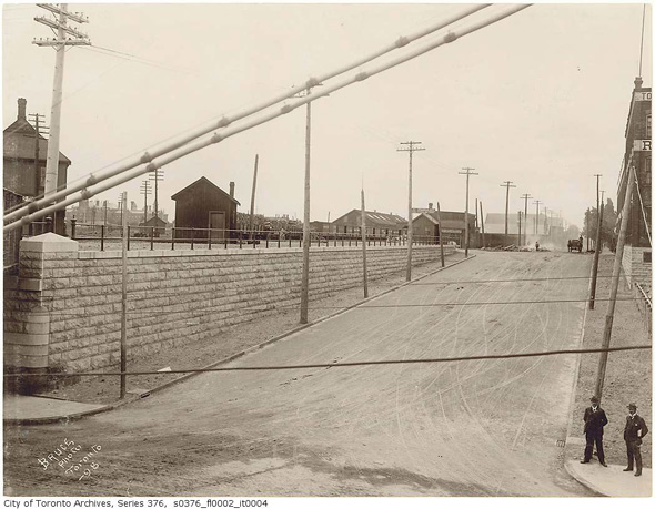
1890s.So much so, in fact, that the city decided that the level railway crossing at Dufferin and Queen was no longer viable based on traffic delays and overall safety. The construction of the Queen Street Subway - often referred to as the Dufferin overpass - resulted in a 100+ year jog in which drivers and cyclists had to divert to Gladstone before returning to the street north or south of the rail bridge. While the overpass still remains, the jog was (thankfully) eliminated a few years ago.
Current construction on the street involves the replacement of the bridge near the entrance to the CNE grounds, a structure that dates back to 1911. Dufferin meanders as it reaches its southerly tip on account of the fair grounds, which hosted the Exhibition as early as 1879. Not much remains from this period, but the Ex is still going strong some 130+ years later.
If there's one bit of of the street's history that not too many people know about, it's the racetrack that once sat where Dufferin Mall does today. Opened in 1907, the track was a popular destination until its eventual demolition in 1955. Needless to say, it served as the prefect site for a mall as the land on the west side of the street was almost entirely undeveloped south of Kent Public School. Not everyone will consider the current occupant an improvement, but at least Dufferin Grove Park has been preserved for all these years.
PHOTOS
 Dufferin looking south of Queen, 1898
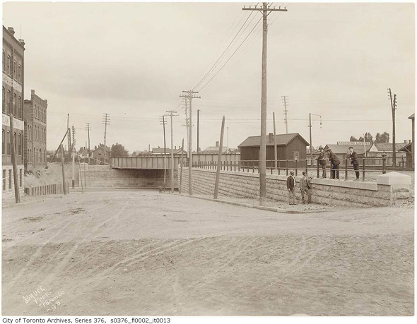 Dufferin looking north to Queen, 1898
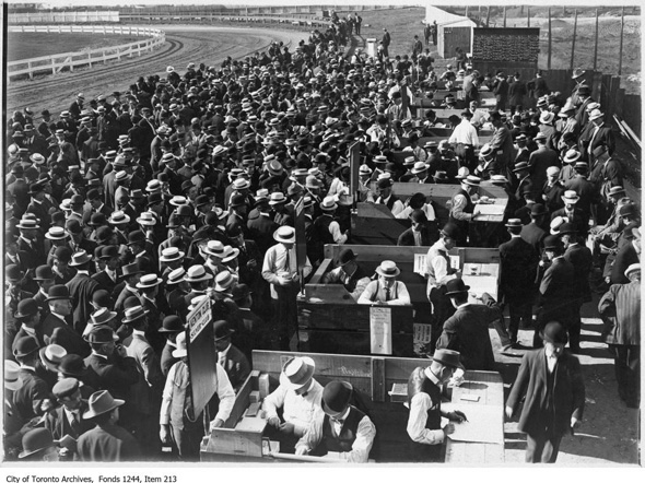 Dufferin racetrack, 1910
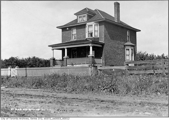 Southwest corner of St. Clair and Dufferin, 1911
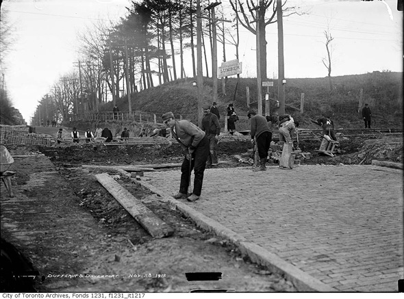 Dufferin north of Davenport, 1912
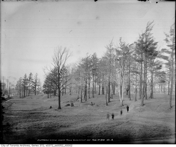 Dufferin Grove, 1913
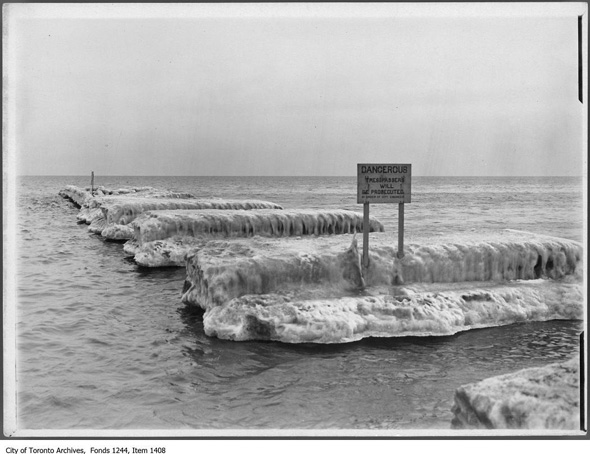 Dufferin Pier, 1912
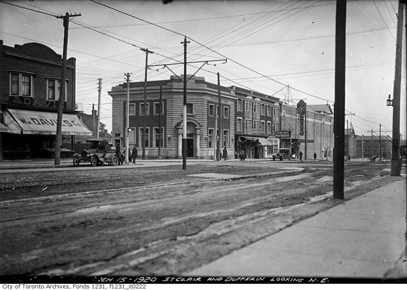 Northeast corner Dufferin and St. Clair, 1920
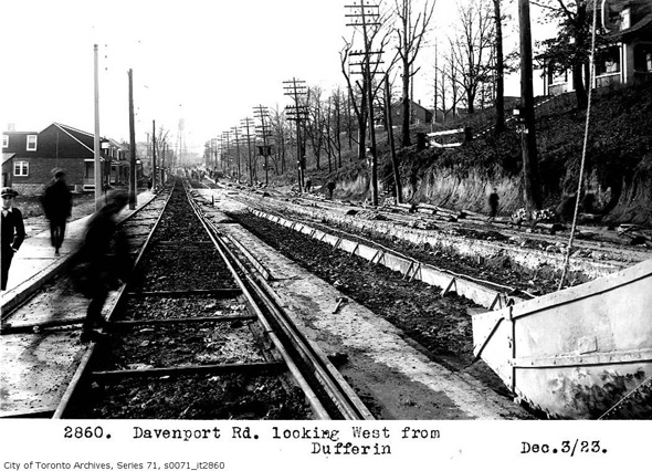 Davenport looking west from Dufferin, 1923
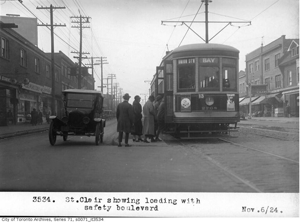 Streetcar at Dufferin and St. Clair, 1924
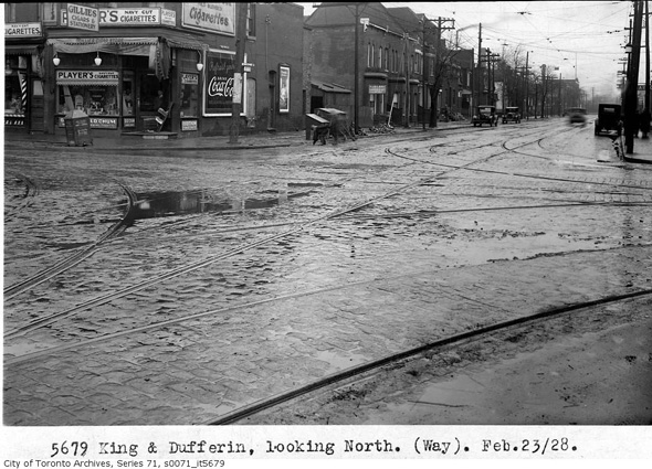 King and Dufferin, 1928
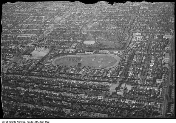 Aerial of Dufferin racetrack, 1930
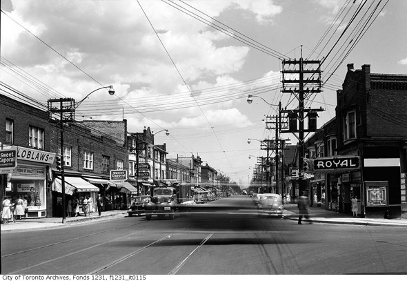
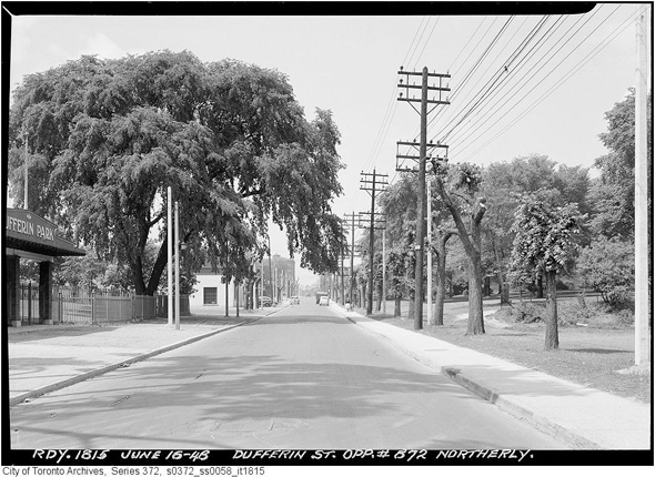 Dufferin north of College, 1948
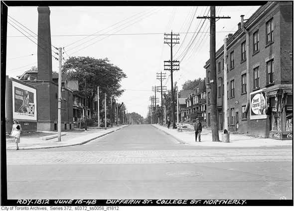 Intersection of Dufferin and College, 1948
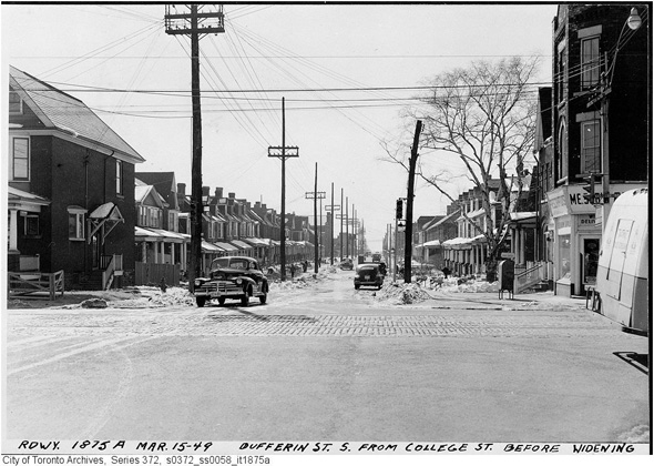 Dufferin looking south of College, 1949
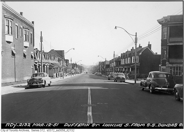 Dufferin south of Dundas, 1951
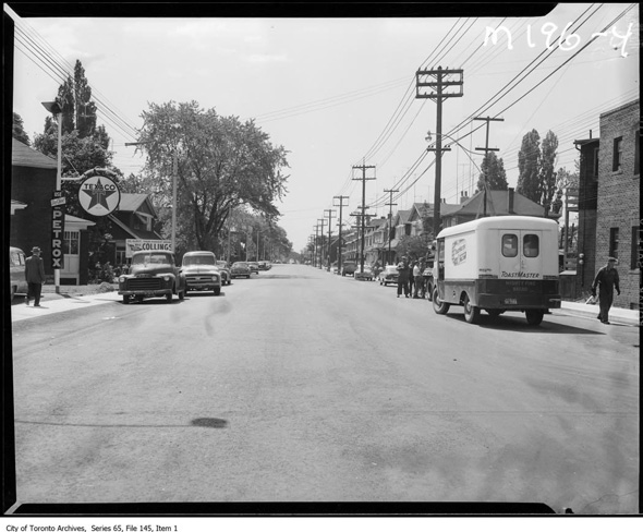 Dufferin and Eglinton, 1955
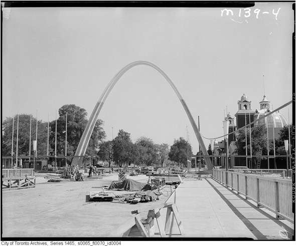 Dufferin Bridge, 1959
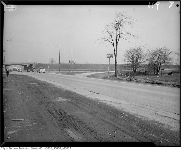 Dufferin and the 401, 1960
Photos from the Toronto Archives
Please share this
No comments:
Post a Comment