It'd be fair to say that there's been something of a west-side bias to the collection of historical posts we've published over the years, so by way of increasing the breadth of our history series I'll be taking a look at some important east-side street and neighbourhoods over the next little bit. Up first, perhaps naturally, is Danforth Avenue. First built in the 1850s, the street is named after the man originally commissioned to build a route that headed east from Scarborough towards Trenton. Danforth's Road, as it was called after Asa Danforth Jr., would eventually fall into disuse when Kingston Road became the more popular passage between Toronto and destinations to the east of the city.
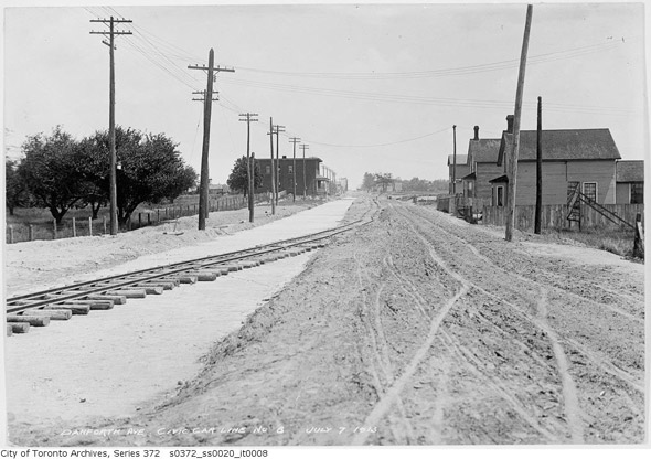
Danforth Avenue was built in the 1850s as a connection between the city and these east-heading routes, though to look at photos from the early 1900s there's nothing particularly urban about the the street. Aside from an area of density around Broadview and the presence of Toronto Civic Railway cars from 1913 onward, the Danforth was a mostly lazy stretch of road that wouldn't see major development until the 1920s, following the completion of the Bloor Viaduct in 1918.
It's difficult to overstate the importance of the Viaduct as a connection between the east and west ends of the city. Although there were bridges across the Don River to the south, as the city to the west was expanding northward, there was no easy way to cross the Don Valley north of Gerrard Street. With the bridge came regular streetcar service and a wave of construction ensued.
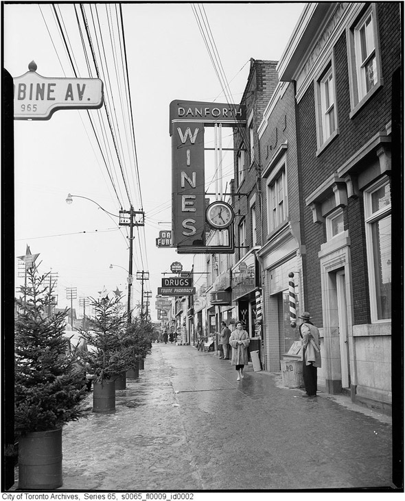
The street's Greek presence dates back to the late 1950s as the city experienced a surge of immigrants from Italy and Greece during this period through the 1960s. Although Greektown has lost some of its identity in recent years as this stretch of the Danforth is steadily commercialized and diversified, core businesses — many of them restaurants — ensure that this bit of the street's history remains vibrant.
PHOTOS
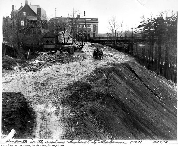
Not the Danforth, but what Bloor Street looked like before the ravine was filled in for the Viaduct, 1908
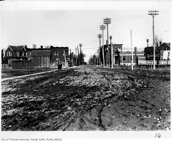
Danforth approaching Broadview, 1910s
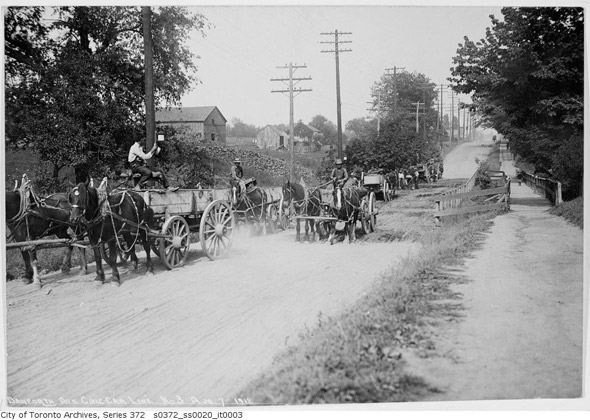
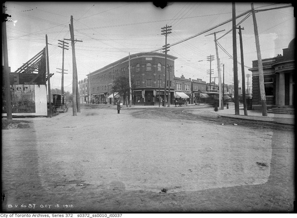
Danforth, 1912
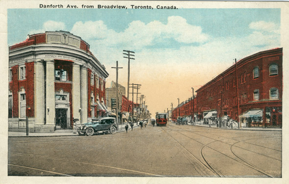
Danforth & Broadview, 1912
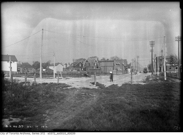
Western terminus of the Danforth (pre-Bloor Viaduct), 1912
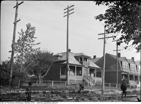
250 Danforth Ave, 1912
Danforth looking east from Pape, 1913

Danforth & Don Mills (what we'd refer to as the northwest corner of Danforth & Broadview
today — thanks Steve Munro), 1913
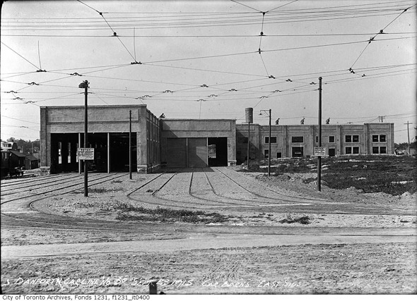
Danforth Car Barns, 1912
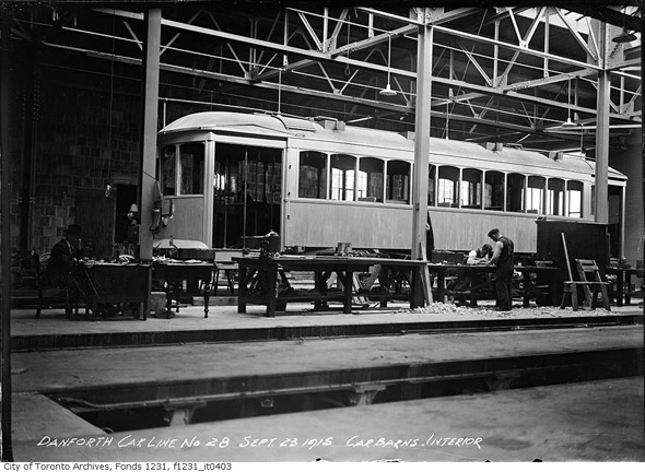
Interior of Danforth Car Barns, 1915
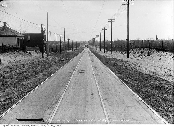
Danforth looking west from Woodbine, 1915
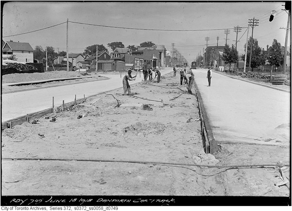
Laying track on Danforth, 1918 (any guesses as to the location?) — this is just east of Broadview
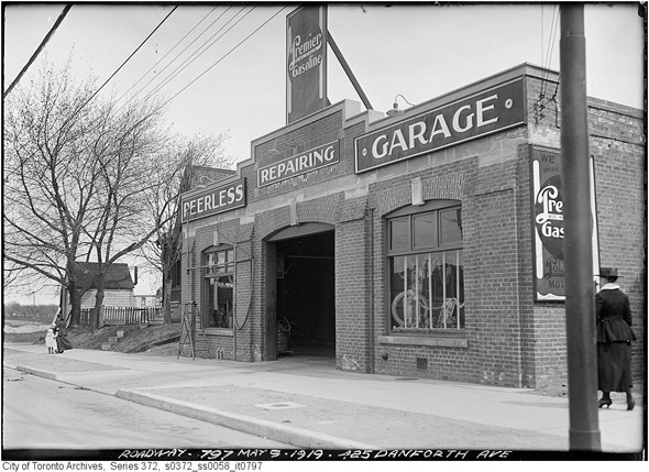
425 Danforth Avenue, 1919
Pape & Danforth, 1919
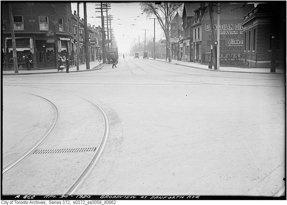 Broadview & Danforth looking south, 1920
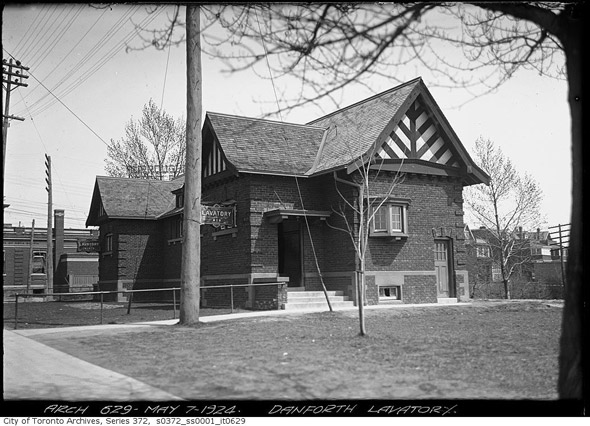
Danforth public lavatory, 1920s (55 Danforth, just east of Broadview -- the building is now
the École Napoléon)
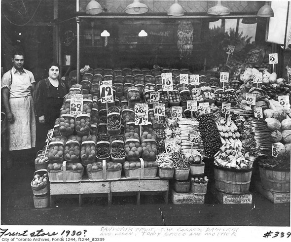
Danforth Fruit Store, 1930
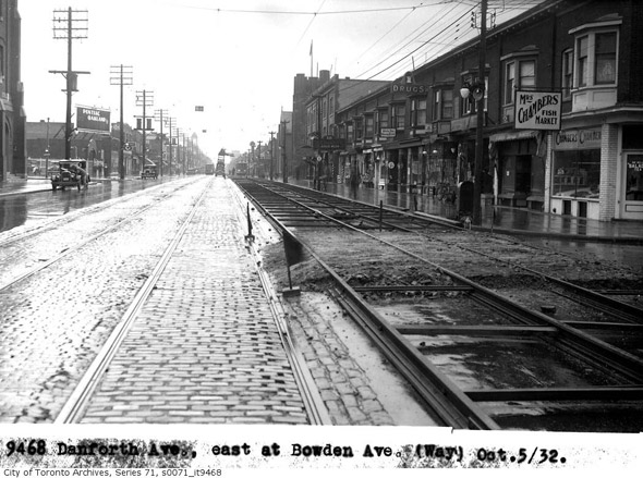
Danforth east from Bowden, 1932
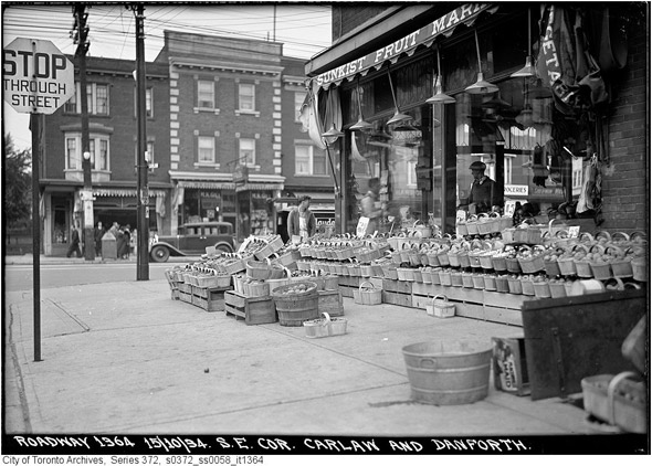
Carlaw & Danforth, 1934
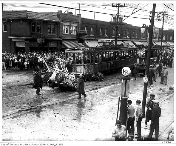
Dramatic accident in 1935 (location unspecified — as a commenter points out, this is near Glebemount)
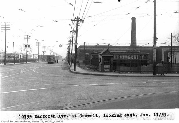
Danforth east from Coxwell, 1935
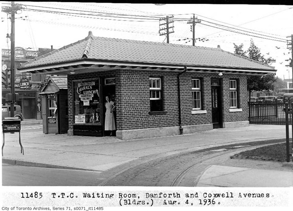
Danforth & Coxwell, TTC waiting room 1936
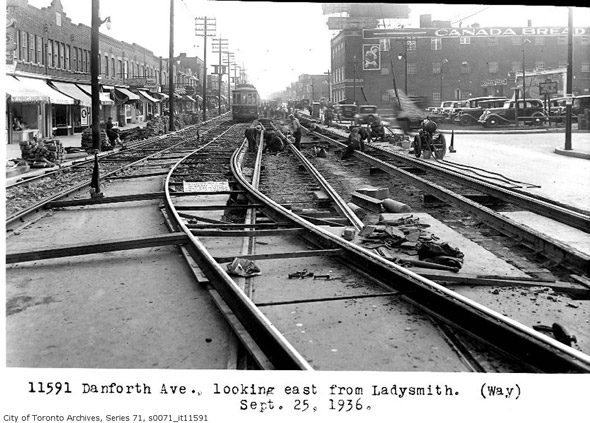
Danforth looking east from Ladysmith, 1936
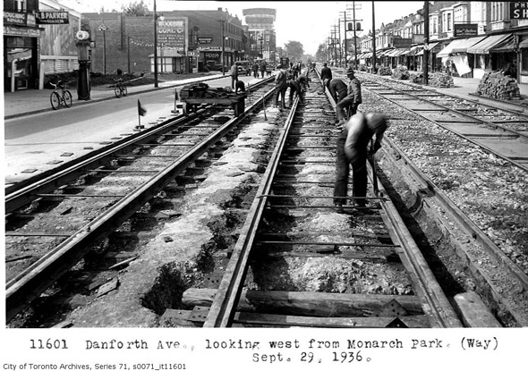
Danforth looking west from Monarch Park, 1936
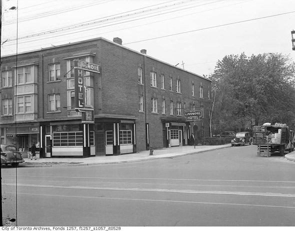
Linsmore Hotel, 1945 (now the Linsmore Tavern -- near Greenwood)
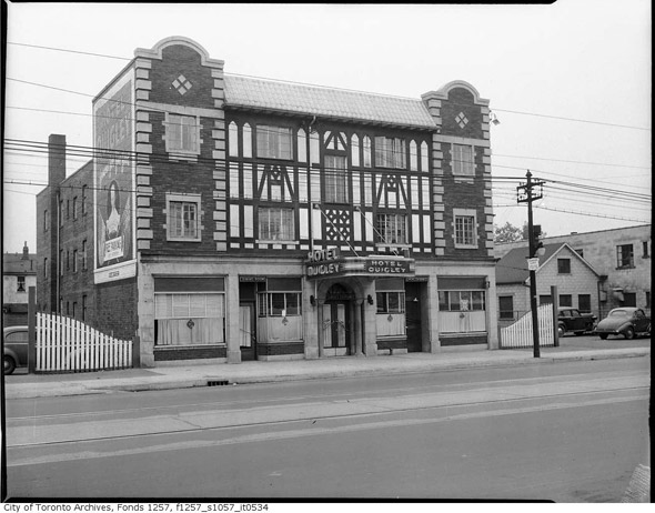
Hotel Quigley, 1945 (near Oak Park Avenue)
Danforth & Greenwood, 1947
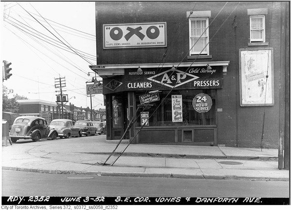
Danforth & Jones, 1952
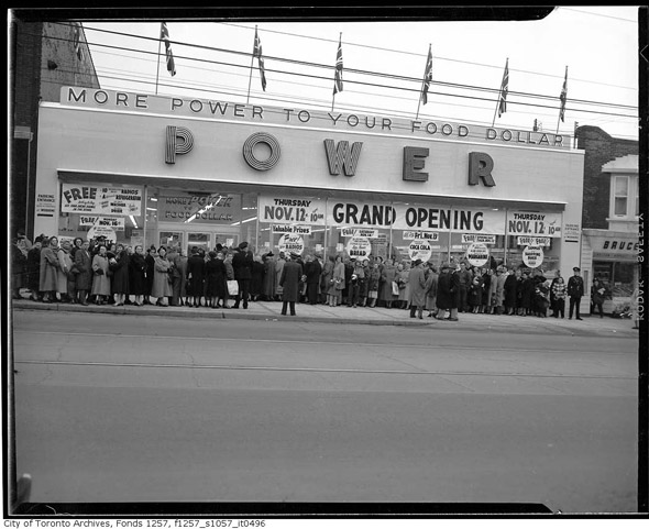
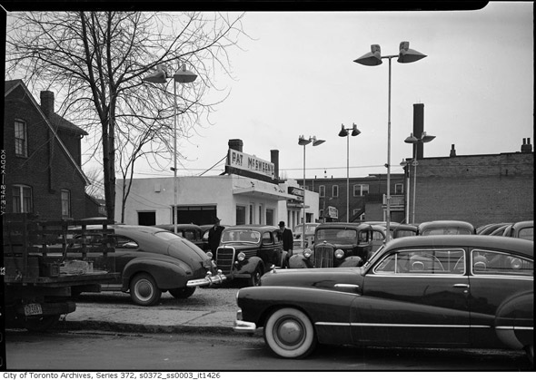
Power Supermarket (near Danforth & Woodbine), 1953
Danforth & Woodbine, 1954
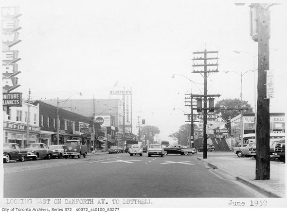
Danforth looking east from Luttrell, 1959
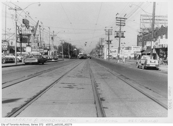
Danforth looking west from Woodington, 1960
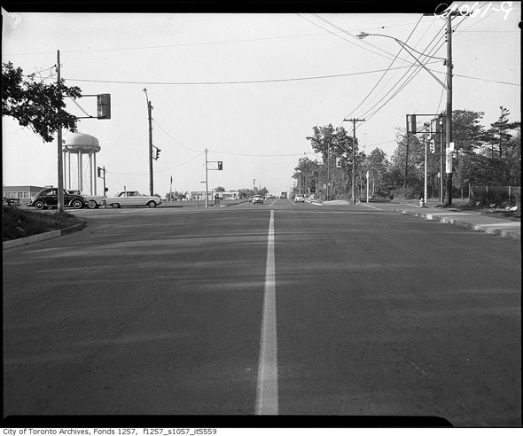
Danforth at Birchmount, 1960s
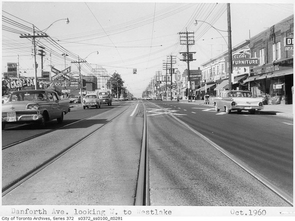
Danforth looking west from Westlake, 1960
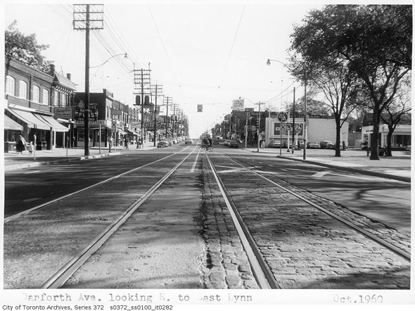
Danforth looking east from East Lynn, 1960
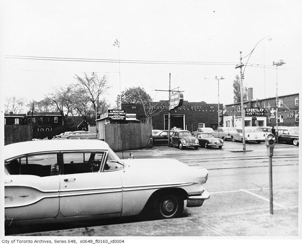
Danforth Autobody, 1965
Photos from the Toronto Archives
No comments:
Post a Comment